Effective conservation starts with reliable data. EHRA’s research provides the scientific foundation for both elephant conservation and human-elephant conflict mitigation. By monitoring populations, studying elephant movements, and investigating emerging threats, we generate the knowledge needed to make informed management decisions and develop practical coexistence solutions.
The Need for Research
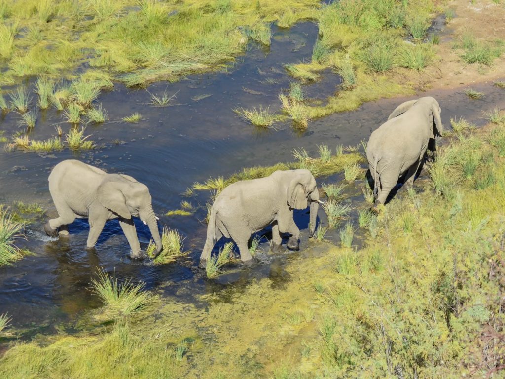
Desert elephants constantly move in search of food, water, and mates. While bulls often roam great distances in pursuit of breeding opportunities, family herds typically remain within established home ranges unless drought or other environmental pressures force them to move. Understanding these movements is essential for accurately monitoring elephant populations and identifying how they use the landscape.
Without long-term identification and movement data, elephant populations can easily be overestimated as the same individuals move between different regions. Accurate monitoring allows us to track population trends, identify emerging threats, and provide the scientific foundation for sustainable elephant management and effective human-elephant conflict mitigation. Through ongoing research, EHRA helps ensure conservation decisions are based on evidence rather than assumptions.
FEATURED RESEARCH
Investigating Calf Mortality
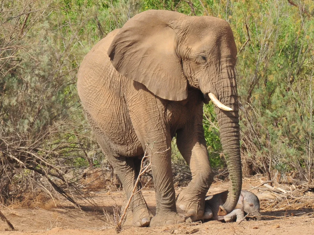
High calf mortality has become one of the greatest conservation concerns for Namibia’s desert elephants. Since 2019, every surviving calf recorded in EHRA’s study population has been female, while at least 21 calf mortalities were documented between 2014 and 2024.
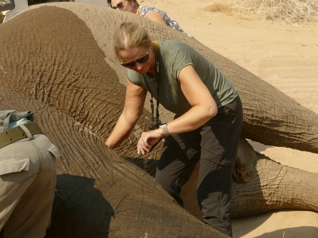
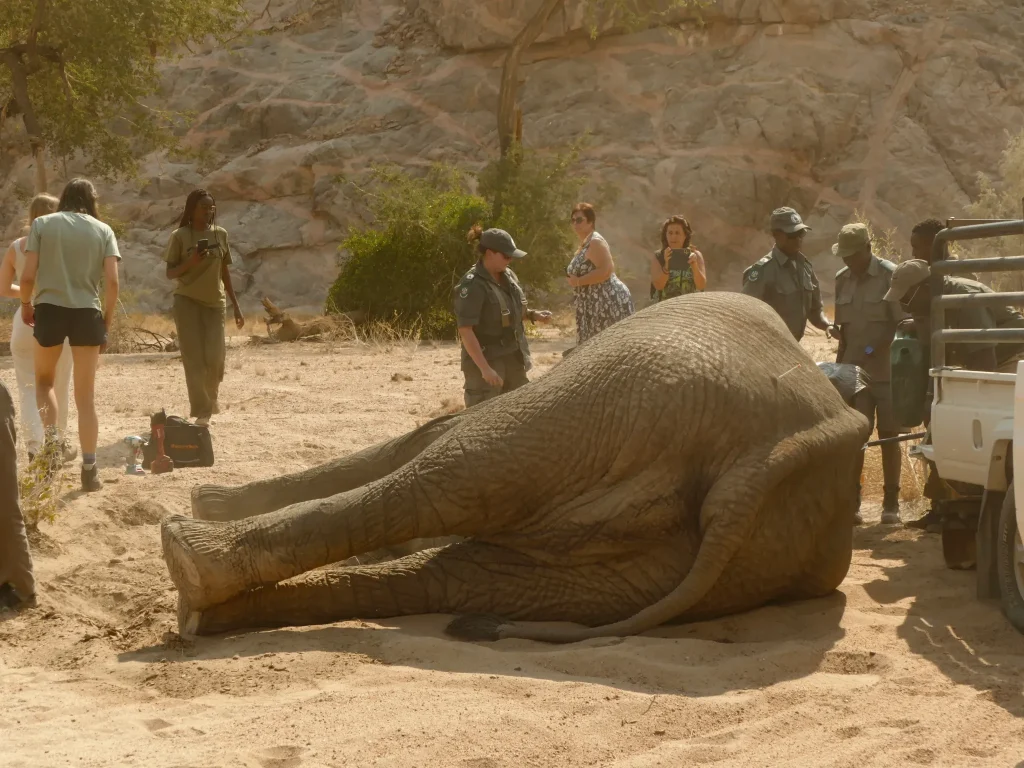
Working alongside the Ministry of Environment, Forestry and Tourism (MEFT), conservation partners, and wildlife veterinarians, including international specialists joining the research from the United States, EHRA is investigating the possible causes through water sampling, vegetation surveys, post-mortem examinations, behavioural observations, and biological sample collection.
This work also forms the focus of our Elephant Research Expedition, where participants contribute directly to ongoing field research while learning elephant tracking, behaviour, and research techniques.
Together, these initiatives provide the data needed to guide effective conservation and conflict mitigation.
Elephant Identification & Census
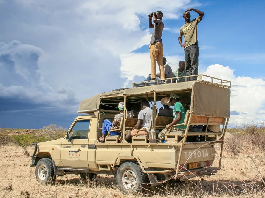
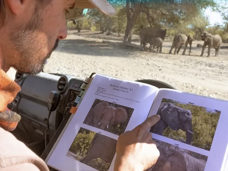
Every elephant is identified using photographs of its ears, tail and other unique features. Combined with camera traps and field observations, this allows us to monitor population size, family groups and individual life histories over time.
Elephant Database
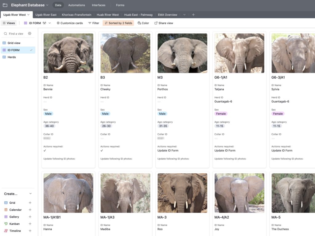
EHRA’s Elephant Database stores identification records, population statistics and long-term monitoring data. The system allows us and our partners to track trends, update individual records and support evidence-based conservation decisions.
Elephant Movement Study
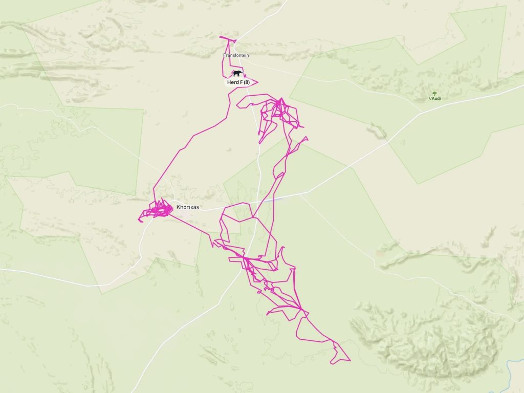
Satellite collars and direct sightings reveal how elephants move across landscapes throughout the year. Understanding migration routes and seasonal movements helps guide conservation planning and reduce human-elephant conflict.
Calf Mortality Research
Together with veterinarians and MEFT, EHRA is investigating the causes of unusually high calf mortality through scientific field studies, helping protect one of Namibia’s most vulnerable elephant populations.
Corridor Project
The Corridor Project combines elephant movement data with practical solutions to create safer routes through commercial farmland. By reducing fence damage and maintaining traditional movement pathways, we support coexistence between farmers and elephants.
COLLARING ELEPHANTS
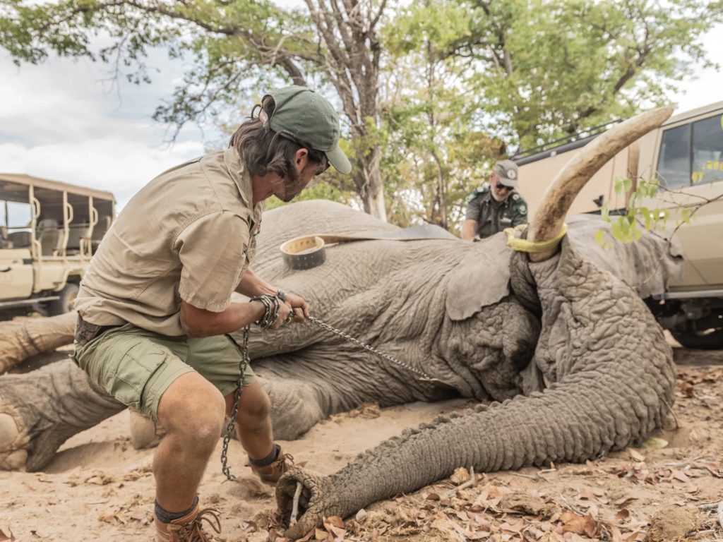
By using satellite collars on elephants, we can understand their movements and identify main pathways and fence breakage points. This is fundamental in finding long-term solutions to HEC on communal and commercial farmland.
Elephant Alert System
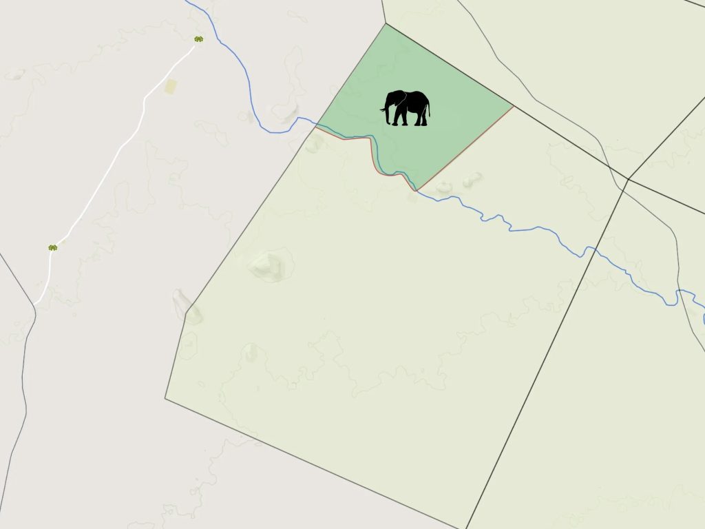
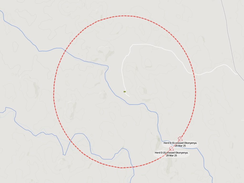
Using satellite collar data and geofences, our Elephant Alert System provides real-time notifications when elephants approach villages or farms. This gives communities time to prepare and reduce the risk of conflict.
CASE STUDY
Using Satellite Imagery to Map Future Elephant Corridors
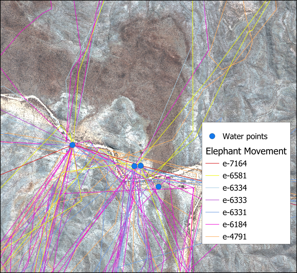
This research, supported by the Airbus Foundation and the Connected Conservation Foundation, aimed to support EHRA by analysing elephant movements and their motivating factors and studying the environmental characteristics of the movements in commercial farms of the Kunene and Erongo regions using Geographic Information System (GIS) and Remote Sensing (RS) techniques.
Our research and monitoring projects are made possible by the generous support of the International Elephant Foundation, Von Wedekind Foundation, Connected Conservation Foundation and Airbus Foundation.
Cookie Consent
Choose whether to allow optional website statistics and embedded maps or videos. Essential cookies keep the website working. You can change your choices at any time.